
")
In this post, you will find links to two Old Hidalgo County Maps that are excellent to research porciones or ranches that your ancestors may have owned.
I came across them as I was browsing through The Texas Portal to Texas History. You can download them but the quality is not that great, but if you click on the View in the High-Quality link that I have included you will find that their quality is stunning.
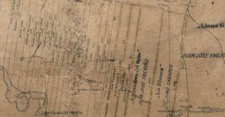
The first map also has a layout of the South Texas Land Grants in Hidalgo County, Texas. If you are currently researching land grants this maps is perfect. Tip: try doing an overlay in Google earth and it is interesting.
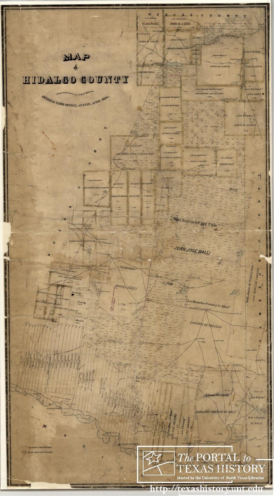
Hidalgo County
Date: 1880-04
Creator: Langermann, A. B.
Description: Map of Hidalgo County, Texas, including the South Texas Plains region. Scale ca. 1:133,334 (4000 varas per inch).
Contributing Partner: Texas General Land Office
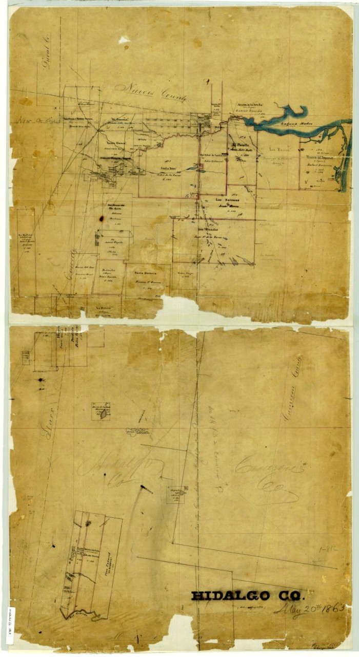
Hidalgo County
Date: 1863-05-20
Creator: unknown
Description: Map of Hidalgo County, Texas, including the South Texas Plains region. Laguna Madre is marked in blue, as shown on the map. The roads to San Patricio, Texas, and from Rio Grande City to Corpus Christi, Texas are marked on the map. Scale ca. 1:133,334 (4000 varas per inch).
Sources:
First Map
Langermann, A. B.. Hidalgo County, Map, April 1880; digital image, (http://texashistory.unt.edu/ark:/67531/metapth88649 : accessed November 16, 2011), University of North Texas Libraries, The Portal to Texas History, http://texashistory.unt.edu; crediting Texas General Land Office, Austin , Texas.
Second Map
Hidalgo County, Map, May 20, 1863; digital image, (http://texashistory.unt.edu/ark:/67531/metapth88650 : accessed November 16, 2011), University of North Texas Libraries, The Portal to Texas History, http://texashistory.unt.edu; crediting Texas General Land Office, Austin , Texas.
The above maps and much more can be found at The Portal To Texas History.


